Animating Hypothetical Trips to Communicate Space-Based Temporal Uncertainty on Digital Maps
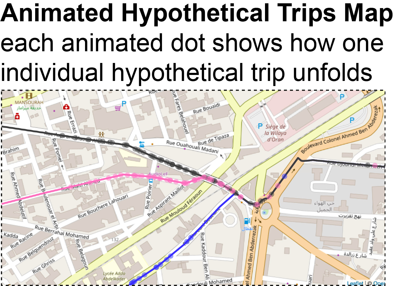
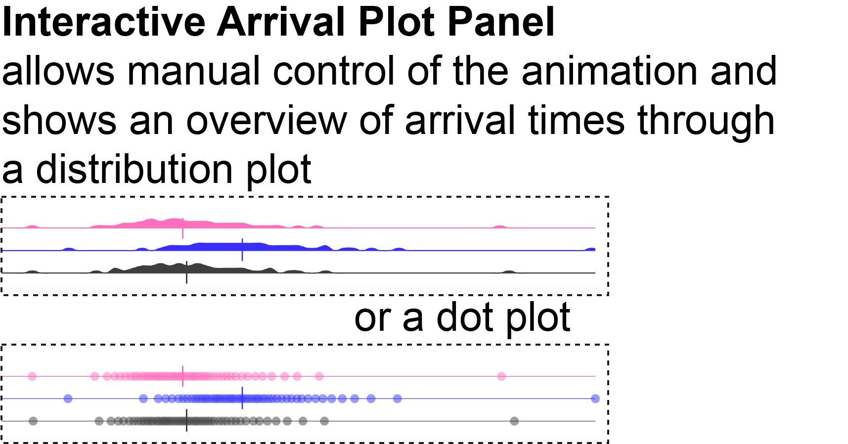
We explore a novel approach to communicating plausible space-based temporal variability of travel durations. Digital maps most often only convey single numerical values as the estimated duration for a path and this piece of information does not account for the multiple scenarios hidden behind this point estimate, nor for the temporal uncertainty along the route (e.g., the likelihood of being slowed down at an intersection). We explore conveying this uncertainty by animating hypothetical trips onto maps in the form of moving dots along one or more paths. We conducted a study with 16 participants and observed that they were able to correctly extract and infer simple information from our uncertainty visualizations but that identifying moving dots’ changes in speed is a more complex task. We discuss design challenges and implications for future visualizations of space-based temporal uncertainty. A demo version is accessible at https://simulatemytrip.github.io/.


